
| Added by |
 Dragos-Mirel Blanaru Dragos-Mirel Blanaru
|
| General Description : | In ancient geography, especially in Roman sources, Dacia was the land inhabited by the Dacians. The Greeks referred to them as the Getae, which were specifically a branch of the Thracians north of the Haemus range. Dacia was bounded in the south approximately by the Danubius river (Danube), in Greek sources the Istros, or at its greatest extent, by the Haemus Mons (the Balkan Mountains). Moesia (Dobrogea), a region south of the Danube, was a core area where the Getae lived and interacted with the Ancient Greeks. In the east it was bounded by the Pontus Euxinus (Black Sea) and the river Danastris (Dniester), in Greek sources the Tyras. But several Dacian settlements are recorded between the rivers Dniester and Hypanis (Southern Bug), and the Tisia (Tisa) to the west. At times Dacia included areas between the Tisa and the Middle Danube. The Carpathian Mountains were located in the middle of Dacia. It thus corresponds to the present day countries of Romania and Moldova, as well as smaller parts of Bulgaria, Serbia, Hungary, and Ukraine. |
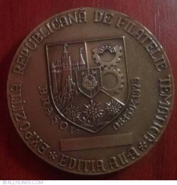
| Material | Bronze |
| Catalog prices | No catalog prices set yet |

