Postcards Catalog - Baraque Michel, Belgium
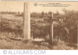
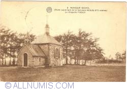
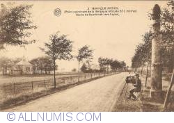
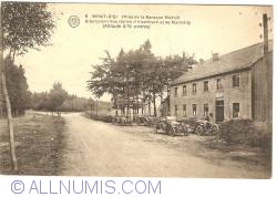
The Baraque Michel (German: Michelshütte) is a locality in the municipality Jalhay, in the High Fens, eastern Belgium. Before the annexation of the Eastern Cantons by Belgium in 1919, it was the highest point of Belgium. Now it is the third highest point at 674 m, after the nearby Signal de Botrange (694 m) and the Weißer Stein (691 m).
Coordinates: 50.518611°N 6.0625°E
Help grow this catalog!
Know an item that's missing? Add it and help collectors worldwide.