| Added by |
 Alain Martineau Alain Martineau
|
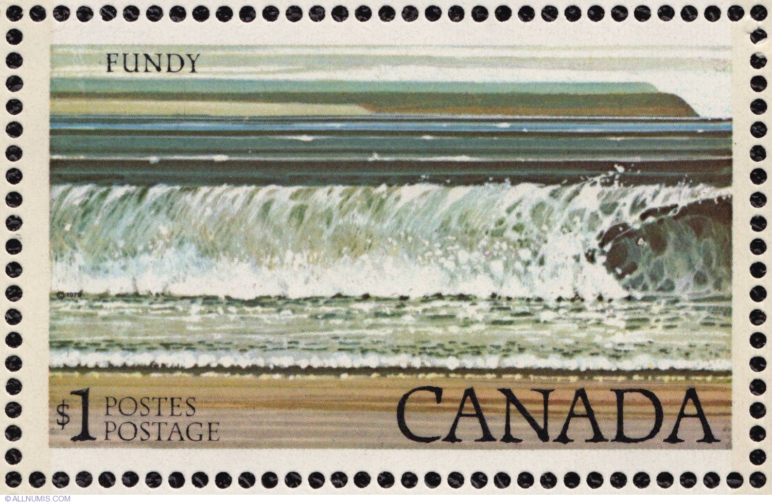
| General Description : | The Bay of Fundy is a bay on the Atlantic coast of North America, on the northeast end of the Gulf of Maine between the Canadian provinces of New Brunswick and Nova Scotia, with a small portion touching the U.S. state of Maine. Some sources believe the name "Fundy" is a corruption of the French word "Fendu", meaning "split", while others believe it comes from the Portuguese fondo, meaning "funnel". The bay was also named Baie Française (French Bay) by explorer/cartographer Samuel de Champlain during a 1604 expedition led by Pierre Dugua, Sieur de Monts which resulted in a failed settlement attempt on St. Croix Island. The Bay of Fundy is known for its high tidal range. Rivaled by Ungava Bay in northern Quebec, King Sound in Western Australia and the Severn Estuary in the UK, it has one of the highest vertical tidal ranges in the world. |
| Face value | 1 Dollar |
| Series | Carricature and Landscape defenitive stamps |
| Designer | Ron Bolt |
| Height | 30.00 mm |
| Width | 48.00 mm |
| Catalog prices | No catalog prices set yet |


