| Added by |
 Alain Martineau Alain Martineau
|
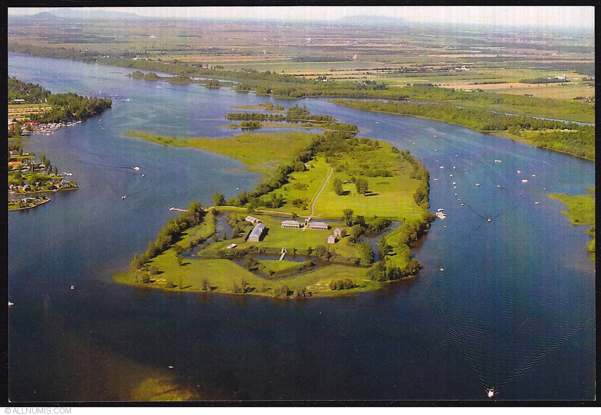
| General Description | Saint-Paul-de-l'Île-aux-Noix is a municipality in southern Quebec, Canada located in the administrative area of the Montérégie. Fort Lennox occupies most of Île aux Noix, an island in the middle of the Richelieu River in the parish of Saint-Paul-de-l'Île-aux-Noix, Quebec, near the Canada-U.S. border. The fort features restored defense works and stonework buildings, and is surrounded by a star-shaped moat. Fort Lennox was designated a National Historic Site of Canada in 1920. Built by the British between 1819 and 1829, the fort was designed to protect the colony from possible American invasion. The fort was named after Charles Lennox, 4th Duke of Richmond, who died in 1819 and was Governor General of British North America. An earlier 1760s fort on the same site was originally built by the French during the Seven Years' War. |
| Height | 112.00 mm |
| Width | 153.00 mm |
| Catalog prices | No catalog prices set yet |

