| Added by |
 Maciej Pasztor Maciej Pasztor
|
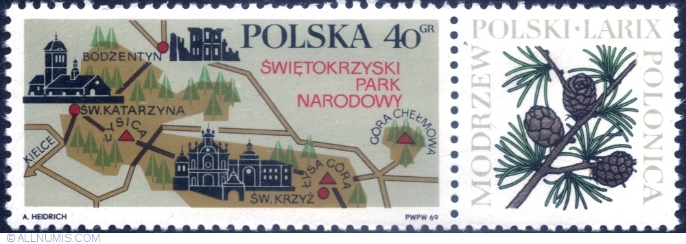
| General Description : | Świętokrzyski National Park (Polish: Świętokrzyski Park Narodowy) is a National Park in Świętokrzyskie Voivodeship in central Poland. It covers the highest ridge of the Świętokrzyskie (Holy Cross) Mountains – the Łysogory – with its two highest peaks: Łysica at 612 metres (2,008 ft) and Łysa Góra ("Bald Mountain") at 595 m (1,952 ft). |
| Face value | 40 Groszy |
| Catalog code (Michel) | 1916 |
| Catalog code (Scott) | 1650 |
| Catalog code | Polish Stamps Catalog 1769 |
| Series | Tourism I |
| Place in series | 1 |
| Stamp colour | Multicolored |
| Stamp use | Commemorative stamp |
| Print run | 8,841,020 |
| Designer | Andrzej Heidrich |
| Paper type | Middel; smooth, white, coated |
| Print technique | Offset |
| Printed by | PWPW (Państwowa Wytwórnia Papierów Wartościowych) |
| Perforation | 11¼ (comb) |
| Height | 22.50 mm |
| Width | 50.00 mm |
| Catalog prices | No catalog prices set yet |

